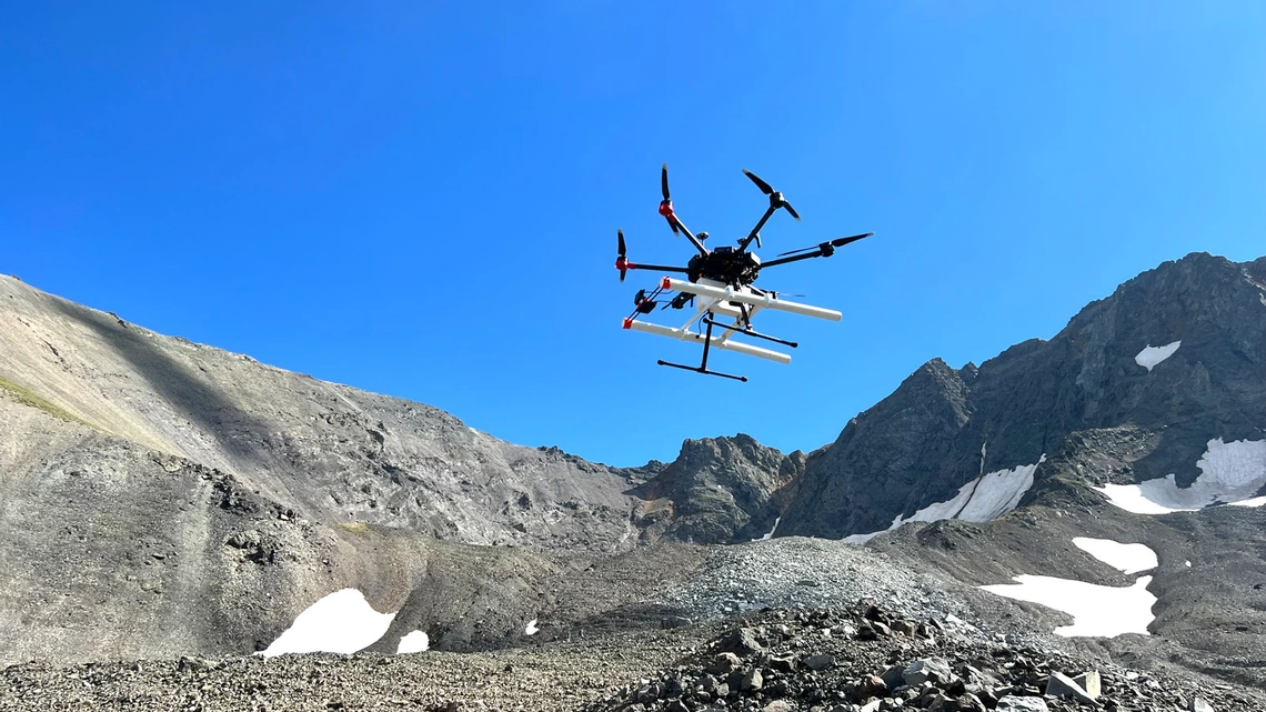
Silhouetted against the blue sky, a drone carrying a ground-penetrating radar instrument lifts off from Galena Creek Rock Glacier in Wyoming. (Image credit: Jack W. Holt) A new study suggests the search for usable water on Mars may soon rely on an unexpected tool: drones equipped with radar, flying just above the surface to peer underground in ways orbiters cannot.Researchers led by the University of Arizona have shown that drone-mounted ground-penetrating radar can map buried glaciers on Earth in remarkable detail, offering a blueprint for how similar techniques could be used on Mars. The work focuses on glaciers in Alaska and Wyoming that closely resemble debris-covered ice deposits identified on the Red Planet, according to a statement from the university. A research drone equipped with ground-penetrating radar takes off for a reconnaissance flight on Galena Creek Rock Glacier, Wyoming. (Image credit: Michael Daniel)For decades, Mars missions have relied on orbital radar instruments, such as the Shallow Radar sounder (SHARAD) aboard NASA's Mars Reconnaissance Orbiter, to detect subsurface ice. These systems have confirmed that vast amounts of water ice are locked beneath layers of rock and dust, particularly in the planet's mid-latitudes. But while orbiters can identify large ice deposits, they
Lean: 0.000 · Source quality 55/100 · Factual vs opinion 80/100.
© 2026 Vistoa. All rights reserved.
Limited excerpts, attribution, analysis, and outbound publisher links remain core product boundaries.